Climbing Scafell Pike
ROUTE SUMMARY:
Climbing Scafell Pike – The shortest and most direct route up to England’s highest mountain top. It is also a mountain that offers an amazing sunset walk.
Scafell Pike stands at 978 meters. It is one of the national 3 peaks in the UK and although the smallest it packs a punch.
Whilst this route is the most popular way it is worth mentioning that there is many ways up to the top of Scafell Pike.
DISTANCE | ASCENT | TIME
9km | 900 m | 4-6 hour
STARTING POINT:
Wasdale Head, Seascale CA20 1EX – National trust car park
HOW HARD IS IT ?:
Climbing Scafell Pike is not an easy undertaking and although this route is very direct. You have to remember that your climbing England’s highest mountain top. Because of that there is plenty of up hill.
CONSIDERATIONS:
Before you think about climbing Scafell pike its worth as with any mountain walk checking the weather and making sure your prepared for a mountain walk.
Scafell pike via the “tourist track” has some steep sections on loose rock as well as a river crossing that if it has been raining a lot can become impassable.
If your unsure it is worth contacting a guide about hiring a mountain guide for the day or joining one of our guided walks.
RECOMMENDED MAPS:
As with any mountain walk, you must know how to use a map or a compass.
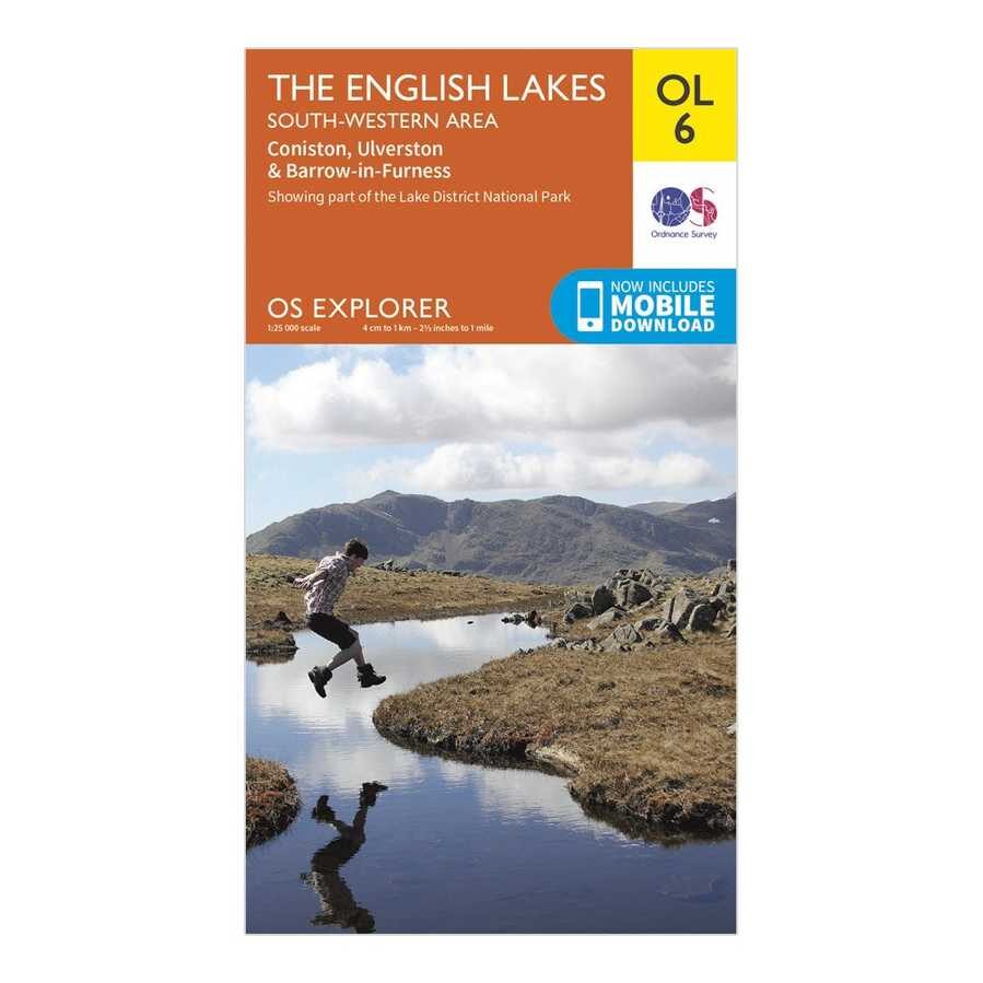
For this walk you need OS map OL6.


Walking Scafell Pike - Route description.
1) Assuming that you have parked at the National trust car park leave it via the exit at the top on the right. Cross over a cattle grid and follow the track with a stream on the right. Through a narrow path with an open field on the left and trees on your right
After about 400 meters you will come to a kissing gate. Go through this gate and follow a clear path up hill at first through a field before then handrailing the river on the left.
Again follow this until you have reached another gate that joins your track and another to the left of you .
It is at this point here your may get a view of Scafell Pike in the middle dead a head of you
FOLLOW US ON INSTAGRAM -

2) Go through this kissing gate just above where the two paths join, continuing on the path beyond. For about 600m where you will be able to see the path now crosses a river called Brown tongue.
The crossing is simple enough although can be hard work if you are trying to keep your feet dry!!!
***A top tip to follow the river up a little further and cross where it narrows.
One you have crossed you will see above the steps and path that lead up the first real steep section as you carry on climbing Scafell Pike.
Follow this up on a well-marked path up steps and a track.
Above the zigzags the path deteriorates again becoming rough underfoot with cairns marking the well-worn path your now entering a part of the route called the Hollow stones.

3) As you approach but never quite reach Lingmell col (Lingmell is on your left and worth doing as an extra if you have time) keep right.
The path keeps swinging right and soon climbs more much steeply on more loose stone.
Cairns mark the way but can be tricky to spot more than the next one or two amongst the backdrop of the boulder field.
A short section of sloping flat rock none as flat slabs is the only respite. This is the 3 and final real steep section.
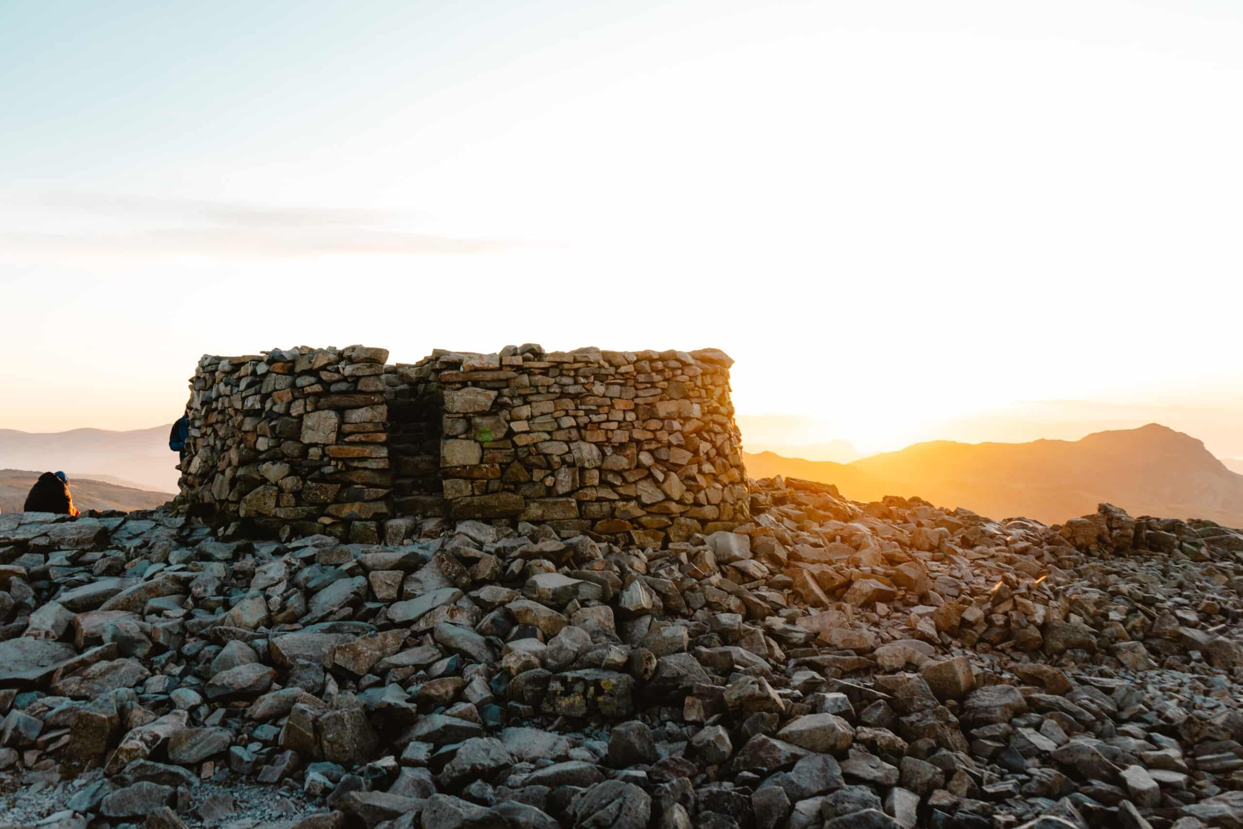
Taking quite a definitive left turn there is a little more climbing before the gradient eases and the summit ‘platform’ of Scafell Pike appears about 200 meters into the distance.
Walking down from Scafell Pike.
You mountain walk is never over until you are a safe at the bottom. The best way down is to retrace your steps and follow the route the route in reverse.
You can add in Lingmell as an addition which makes a great day out in the mountains.
About the Author.
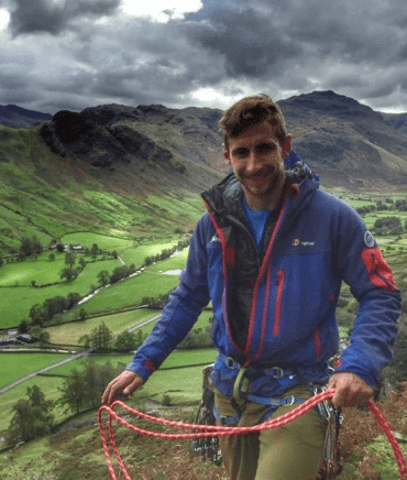
Jack Oliver runs Lake District Adventuring. He has worked as a mountain leader on the Lake District mountains for the last 8+ years and has done Scafell Pike anytime in just about every weather condition possible and submitted well over 300 times.
Lake District Adventuring offers a range of mountain walks and skills courses that give people the confidence to be able to tackle mountains independently or with a guide.

